When the sky becomes the stage: The growing challenge of drone security at large events
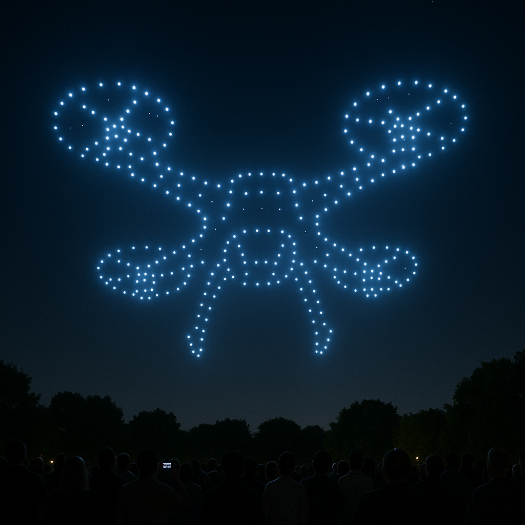
Drone shows have evolved into a fascinating spectacle in recent years. They transform the night sky into choreographed light displays, tell stories, and are increasingly replacing traditional fireworks at major events—from city festivals to corporate gatherings. At the same time, drones are also used operationally—for media coverage or security surveillance—over event areas. But behind the visual appeal and practical benefits lie growing and often underestimated security risks that require a rethinking of protection concepts.
Fragility of drone technology at large scale deployments
Recent incidents have painfully highlighted the fragility of this technology in public spaces. Whether it’s the anxiety over staging an elaborate drone show under adverse weather conditions or reports of individual drone crashes—the potential dangers drones pose when control is lost are evident. Even a small drone crashing can pose a serious risk to the safety of spectators. Causes for loss of control are varied: technical defects, pilot error, or environmental factors like strong winds.
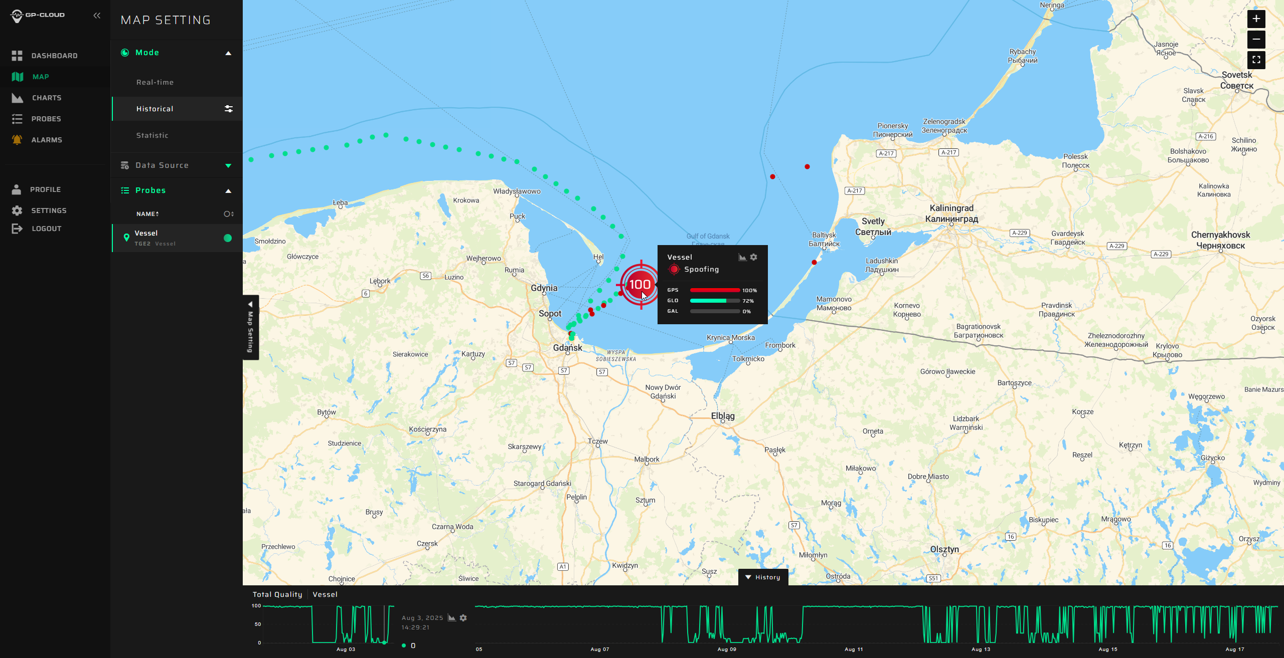
An especially insidious and increasingly relevant threat is electronic interference. Many modern drones rely heavily on satellite navigation systems (GNSS) such as GPS, Galileo, and GLONASS for navigation and positioning. These systems provide highly precise location data essential for following complex flight paths in shows or for autonomous drone behavior. However, GNSS signals are relatively vulnerable to external influences. So-called “jamming” simply blocks these signals, while “spoofing” sends fake position and time signals, which can divert a drone off course or even guide it deliberately to the wrong location. Such disruptions can occur unintentionally—due to faulty devices—but can also be deliberately used to manipulate or crash drones, whether maliciously, for sabotage, or simply mischief.
For organizers of large events, especially those relying on drone shows or expecting numerous drones over their site, the urgent question arises: How can safety in the low-altitude airspace above the event be ensured? Traditional security concepts focused on physical access to the venue fall short. The threat comes from the air—and is often invisible.
Combining security technologies
An effective response to this complex threat requires a multi-layered technological solution. At its core, this involves combining two crucial capabilities:
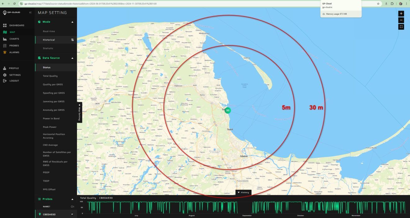
First, continuous monitoring of GNSS signal quality. Specialized sensors can detect in real time whether satellite signals are being jammed or spoofed. Detecting such disruptions allows for immediate reaction—for example, aborting a drone show before individual drones become uncontrollable or perform incorrect maneuvers due to signal loss.
Second, modern drone detection capable of identifying all flying objects in the relevant airspace, regardless of whether they are cooperative (transmitting transponder signals) or not. Such systems often use a combination of sensor technologies to reliably detect unknown or potentially hostile drones.
Only the intelligent linking of these two detection approaches—monitoring the navigation base (GNSS) and direct detection of flying objects (drone detection)—creates a comprehensive situational picture of the airspace over an event. Such an integrated platform enables improved real-time situational awareness and provides a solid basis for risk mitigation decisions.
The benefits of such combined technology go beyond pure threat defense. Precise detection allows collecting evidence and detailed analysis after incidents, which is crucial for clarifying causes (such as unexplained crashes) or insurance issues. Furthermore, the system provides significant organizational value to the event organizer: authorized drones, for example from media partners or emergency services, can be automatically identified and assigned to responsible personnel. This simplifies coordination of approved air traffic and allows faster differentiation between desired flights and potential threats.
The need for integrated solutions combining GNSS interference monitoring with advanced drone detection is underscored by the rising number of drones in public spaces and the increasing sophistication of possible interference attempts. While specialized technologies exist for individual aspects, it is the holistic view and provision of a combined solution from a single source that can make the decisive difference for the safety of large events in the era of unmanned aviation. Projects using advanced GNSS interference detection technology at major drone shows have confirmed the feasibility and added value of this approach in practice.
Ensuring safety at events involving drones requires a shift from passive protection measures toward proactive monitoring and integrated situational awareness. Only through consistent implementation of robust technologies that monitor both the drones themselves and their navigation environment can the full potential of drone shows and other applications be safely harnessed, minimizing risks to spectators and participants. Investing in these technologies is an investment in the safety and smooth operation of large events.
Integrated solution for GNSS monitoring and drone detection
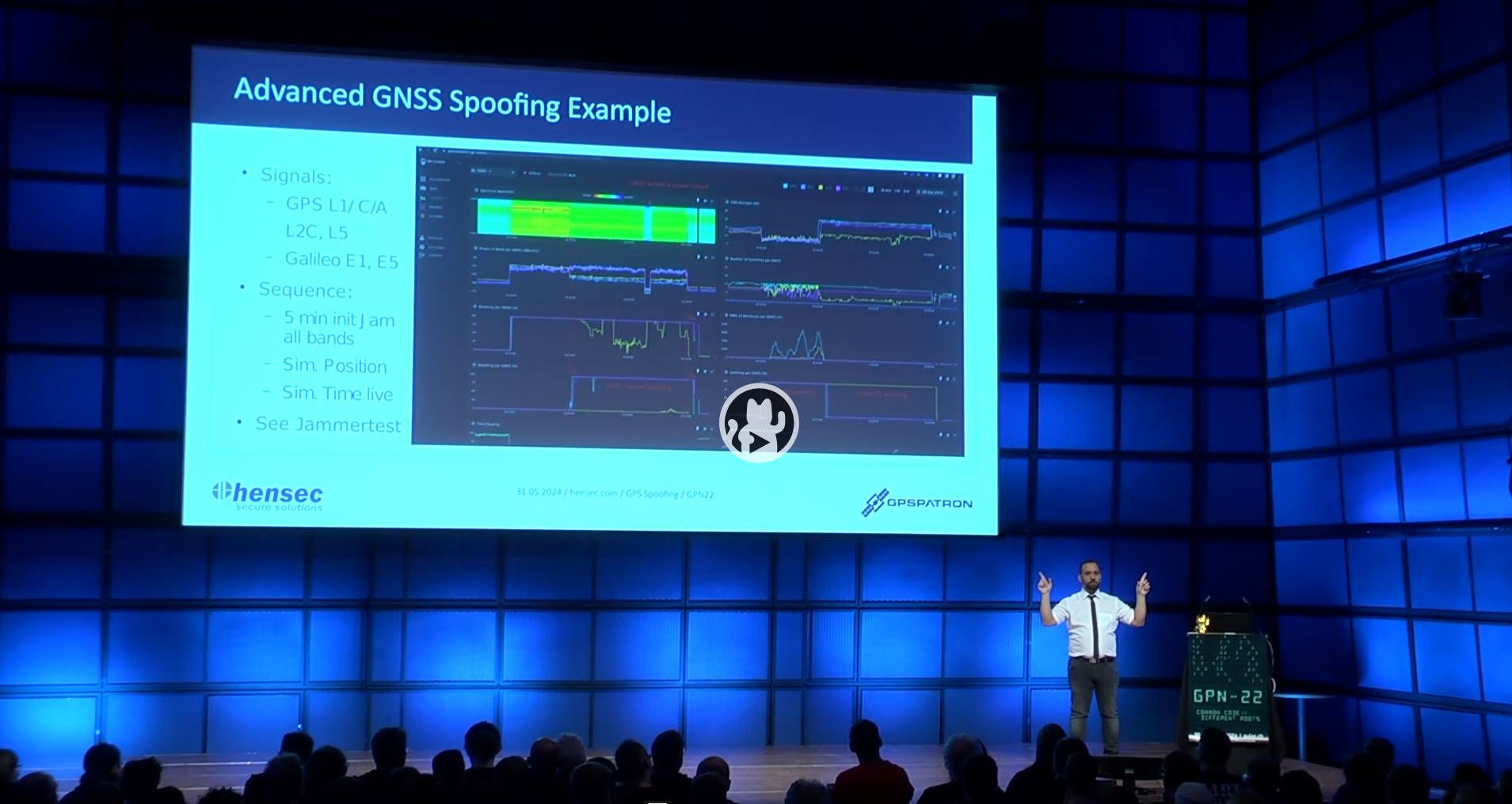
The security company hensec is currently the only provider offering a comprehensive and integrated solution combining GNSS quality monitoring (spoofing and jamming detection) with modern drone detection that also identifies non-cooperative drones. Conventional jamming detection systems only detect that a signal is unreliable but cannot distinguish between interference, jamming, or spoofing. In other words: They detect that “something” is wrong, but not “what.” The hensec solution, by contrast, provides a comprehensive analysis of GNSS signal quality from many perspectives, so even sophisticated spoofing attacks are detected and immediately countered, for example by blocking hostile radio signals.
In addition to customized solutions for corporate sites, cities, or entire regions, hensec also offers a portable suitcase system as a rental solution specifically designed to counter threats from unauthorized drone flights over event areas. The suitcase detects 99% of all common drones and alarms as soon as an object approaches the defined no-fly zone. Alongside the drone type, exact position, and drone ID, the integrated map also shows the drone pilot’s location—often the most critical information in concrete operations. Importantly, the anti-drone suitcase generates no interference with radio communications such as stage equipment and is not even noticed by visitors. An autonomous power supply facilitates on-site use.
More information: www.hensec.com www.luftraumueberwachung.com
